


tl-trailer app for iPhone and iPad
Developer: Tim Littlefair
First release : 27 Jul 2012
App size: 2.23 Mb
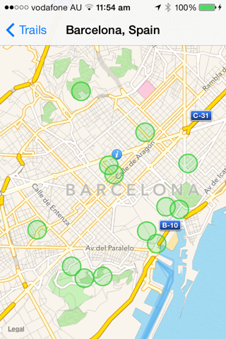
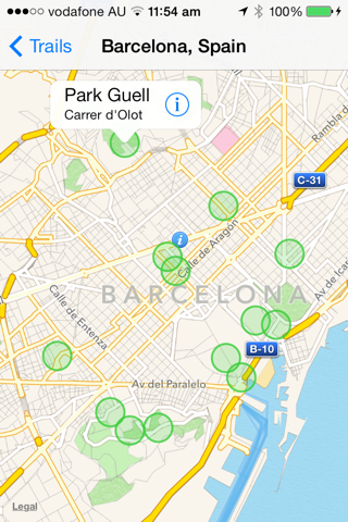
This app allows the display of an annotated map from a user-created file with a .tqz extension. Each map contains one or more circular zones surrounding a point of interest. Clicking on the centre of the zone brings up an annotation marker for the point, which can enable the user to access a message or web content related to the zone.
On a device which has both location and network services enabled the app uses these services to notify the user when he or she crosses the boundary into one of the shaded zones, whether the application is in the foreground or the background. Location tracking will automatically be disabled after the application has been in the background for one hour. Continued use of GPS running in the background can dramatically decrease battery life.
The .tqz files used to drive the app are in a text-only XML format, and can be sent to the iOS device as an attachment or a web URL in an email. Example .tqz files can be created by anyone using amap-based web application at http://tl-trailer.appspot.com, which refers to each file of this type as a trail. The .tqz file for a trail created at this site can either be downloaded for use as an attachment or the site or can be accessed via a URL. The tl-trailer web application site presently has example files covering various places in Western Europe. I hope that the user community for the app will help us to offer a wider range of example .tqz files, but we also hope that users will learn to create their own files through this website, and that other developers may be interested in integrating support for the .tqz format into other location-based sites on the web.